Wet week ahead for Northwest Florida
- April 13, 2015
- / Ron Stallcup
- / community-dashboard
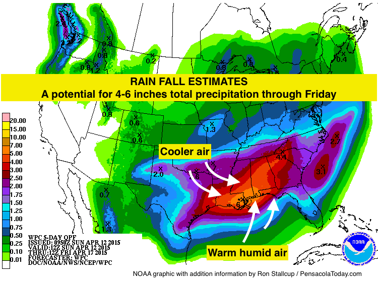
Rain showers are moving northward from the Gulf of Mexico. Along the Gulf Coast and areas north, rain will continue for the next few days. A potential for 4-6 inches total precipitation through Friday has been forecasted by the National Weather Service Mobile and NOAA. It's likely the rain totals could be more before this weather system moves out of the area.
WHY IS IT RAINING SO MUCH?
Warm moist air is streaming northward from the Gulf. When this humid air hits colder air heading south, rain clouds form.
FLASH FLOOD WATCH
At 1:48 a.m.: NWSMobile issued a Flash Flood Watch for Escambia, Santa Rosa, and Okaloosa counties until 3 p.m. Monday.
With the 1 year anniversary of the April floods coming up, here are a few tips from Santa Rosa County Emergency Management.
FLOODING FACTS
• Six inches of water will reach the bottom of most passenger cars, causing loss of control and possible stalling.
• Two feet of rushing water can carry away most vehicles, including sport utility vehicles (SUVs) and pick-ups.
• Urban and small-stream flash floods can occur under one hour.
• Flood damages are not covered under homeowners’ insurance policies. All homeowners should consider purchasing federal flood insurance.
TWITTER
National Weather Service Mobile @NWSMobile
Chief Meteorologist at WEAR TV Channel 3 Allen Strum @WEARAllenStrum
WEBSITES:
Pensacola International Airport
National Weather Service Mobile
Escambia County Emergency Management
Santa Rosa County Emergency Management

Recent Posts
-
 CivicCon launches with a look at good growth in cities
-
 Building stronger brains one baby, one parent at a time
-
 SCI debuts commercial on Early Learning City
-
 Entrecon: World class speakers and an opportunity to sharpen skills
-
 PYP Quality of Life survey 2017
-
 EntreCon Pensacola 2016: A look back
-
 Leadership tip: getting better employee takeaways
-
 Leadership tip: be interested instead of interesting
-
 Leadership tip: delivering difficult messages
-
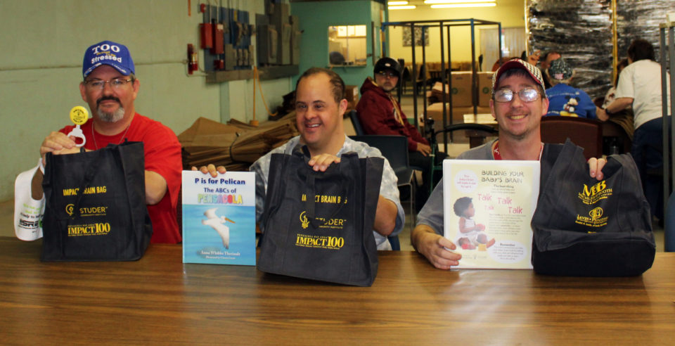 Brain Bags boost Arc, Early Childhood Court programs